Biodiversity
Measurement & Monitoring
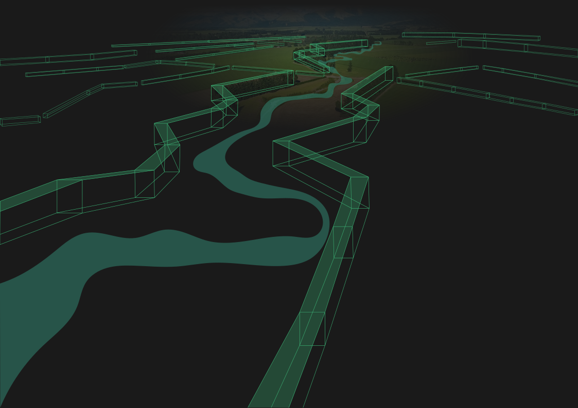
We measure and monitor biodiversity using remote sensing, ecological data, and expert analysis to target conservation actions.
By mapping ecosystem extent, condition indicators, and historical change, we quantify natural and semi-natural vegetation cover alongside local gains and losses, providing landowners, agribusinesses, and partners with a clear, science-based picture of the natural ecosystems on your land.
This spatial analysis also evaluates the relative ecological significance of biodiversity assets across national, regional, and catchment scales.
These farm-level outputs directly align with the Nature Positive Initiative's (NPI) State of Nature metrics, providing an internationally aligned, standardised baseline. This structured framework ensures clear, reliable, and consistent reporting across all properties over time.
naturepositive.org/metrics
This service goes beyond mapping by prioritising sites based on ecological value, risk, and cost-efficiency, delivering tailored actions like restoration and pest control.
The resulting roadmap guides decisions, maximizes investment impact, and helps landholders track and prove long-term biodiversity gains.
We develop bespoke projects for clients to help them meet their nature positive commitments. We can provide assessments that are aligned with several State of Nature metrics:
- Ecosystem Extent
- Landscape Extent
- Ecosystem Condition
- Landscape Condition