
Carbon Removals
We use remote sensing, AI, and expert validation to deliver scalable carbon stock reporting aligned with best-practice standards.
Our carbon stock assessment system measures and reports annual carbon sequestration from woody biomass at property scales.
Each area of permanent vegetation (e.g., shelter belts, woodlots, riparian plantings) are assigned an annual carbon removal value in Tonnes CO₂ based on type, size, and age.
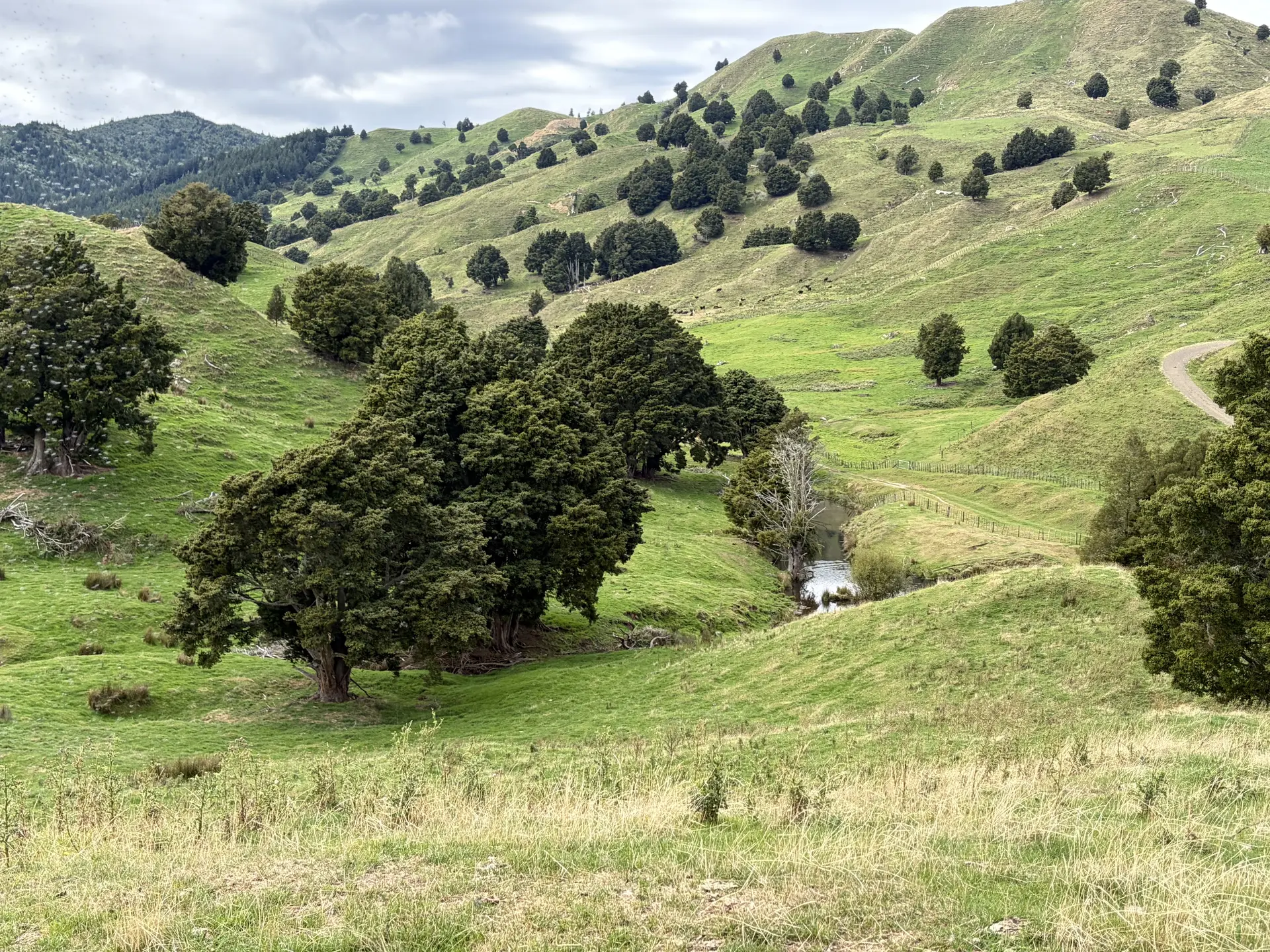
By integrating Machine Learning (ML) models which extract information from aerial photography, satellite imagery and LiDAR with historic imagery at key points in time and expert review, we can reliably identify and age vegetation for carbon assessment.
We validate the accuracy of our mapping through a rolling ground-truthing programme, where representative vegetation plots across a variety of farms are periodically assessed in the field to verify remote sensing outputs.
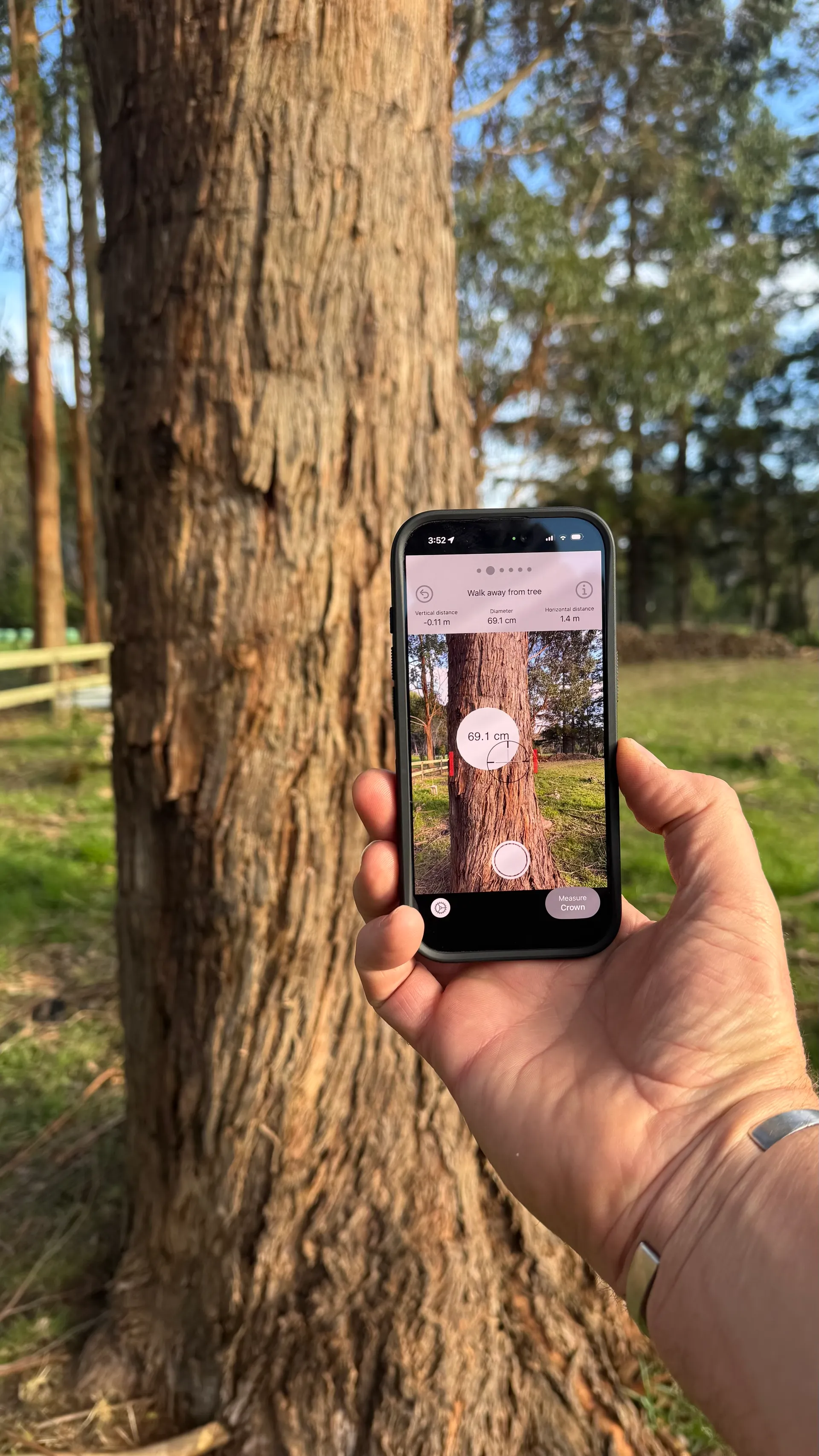
Through consistent, transparent, and independently verified reporting, our system provides a credible framework for measuring annual changes in carbon stocks.
The data can be delivered as a static report, dynamic web service or via an interactive web interface.
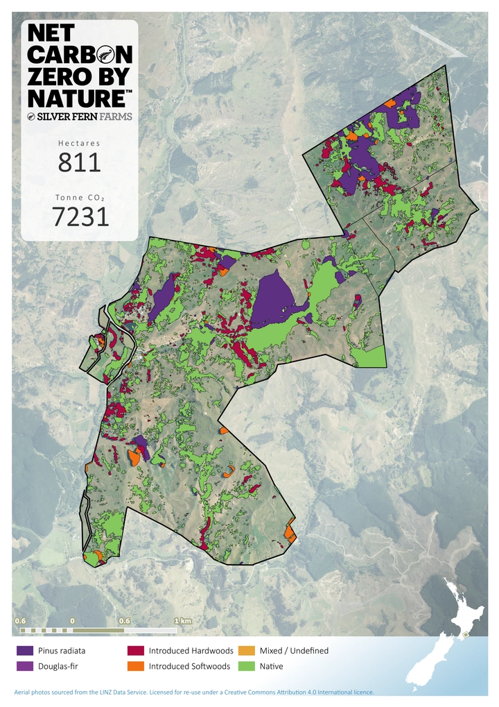

Our method is aligned with internationally recognised greenhouse gas accounting standards including:
- Independent endorsement by Toitū Envirocare
- Follows the Greenhouse Gas Protocol Scope 3 Standard
- Meets the Land Sector and Removals Standard
- Supports the Science Based Targets initiative (SBTi) FLAG framework