Solar Intelligence
We use LiDAR-powered solar energy, shade, and environmental insights for smarter land management.
Our unique highly detailed solar intelligence solutions use LiDAR-derived 3D models to generate practical, forward looking landscape level insights for growers and farmers.
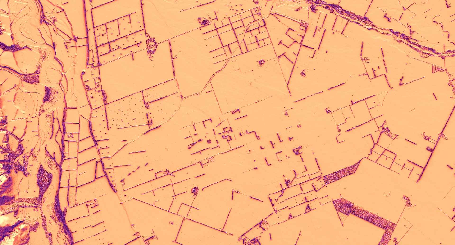
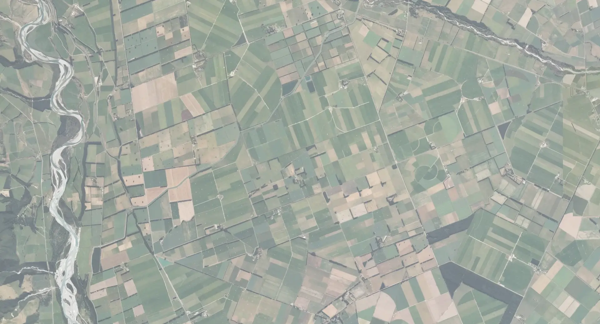
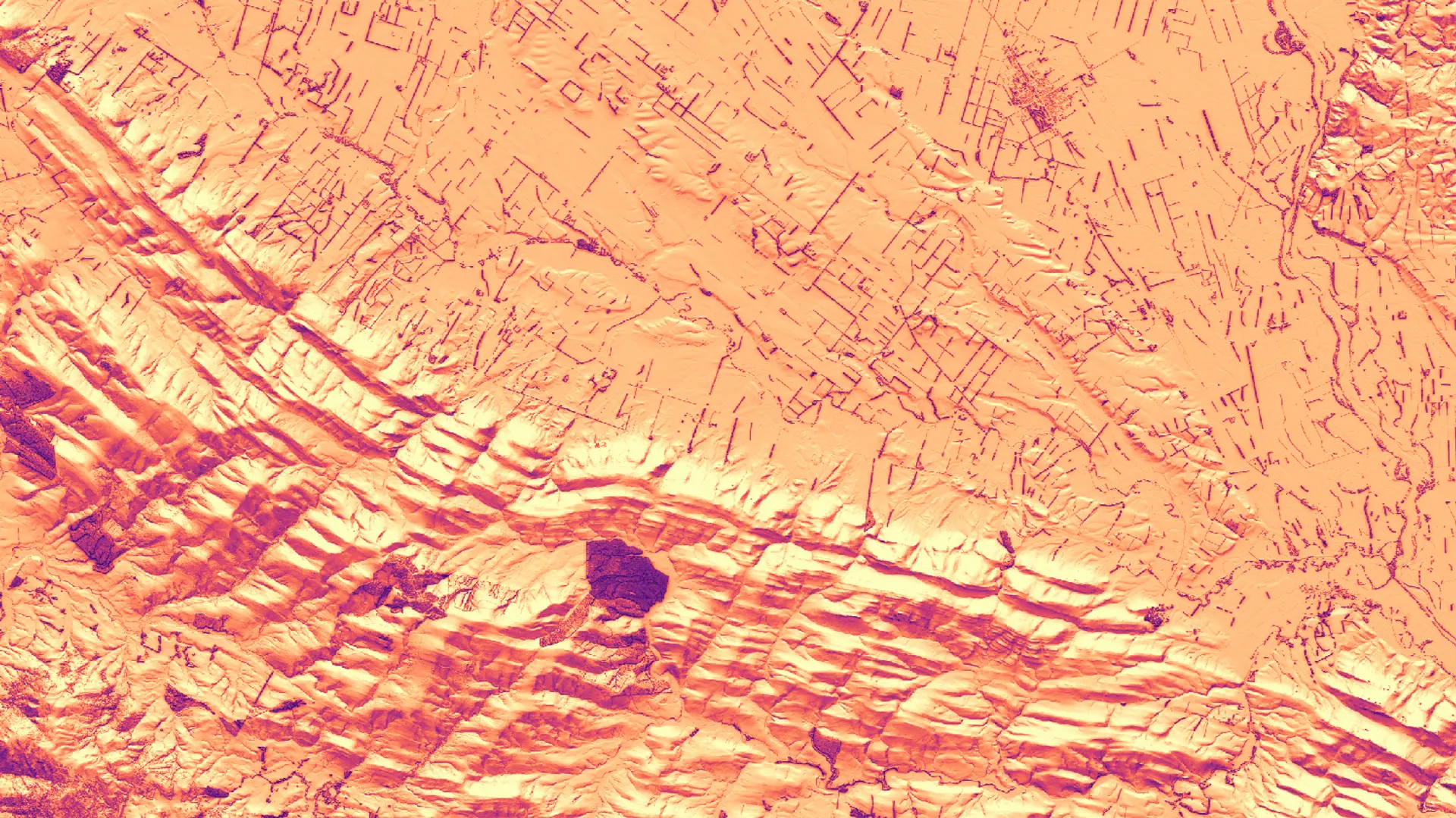
Using LiDAR, we model terrain, trees, and structures in 3D, then calculate how sunlight is received at very fine scales across the landscape.
These models can be dynamically adjusted to project changes over time - such as tree growth or infrastructure development - so decisions are relevant for years into the future.
Our solar solutions reveal where shade and shelter exist, or are lacking, supporting livestock welfare, heat stress mitigation, and smarter shelterbelt design.
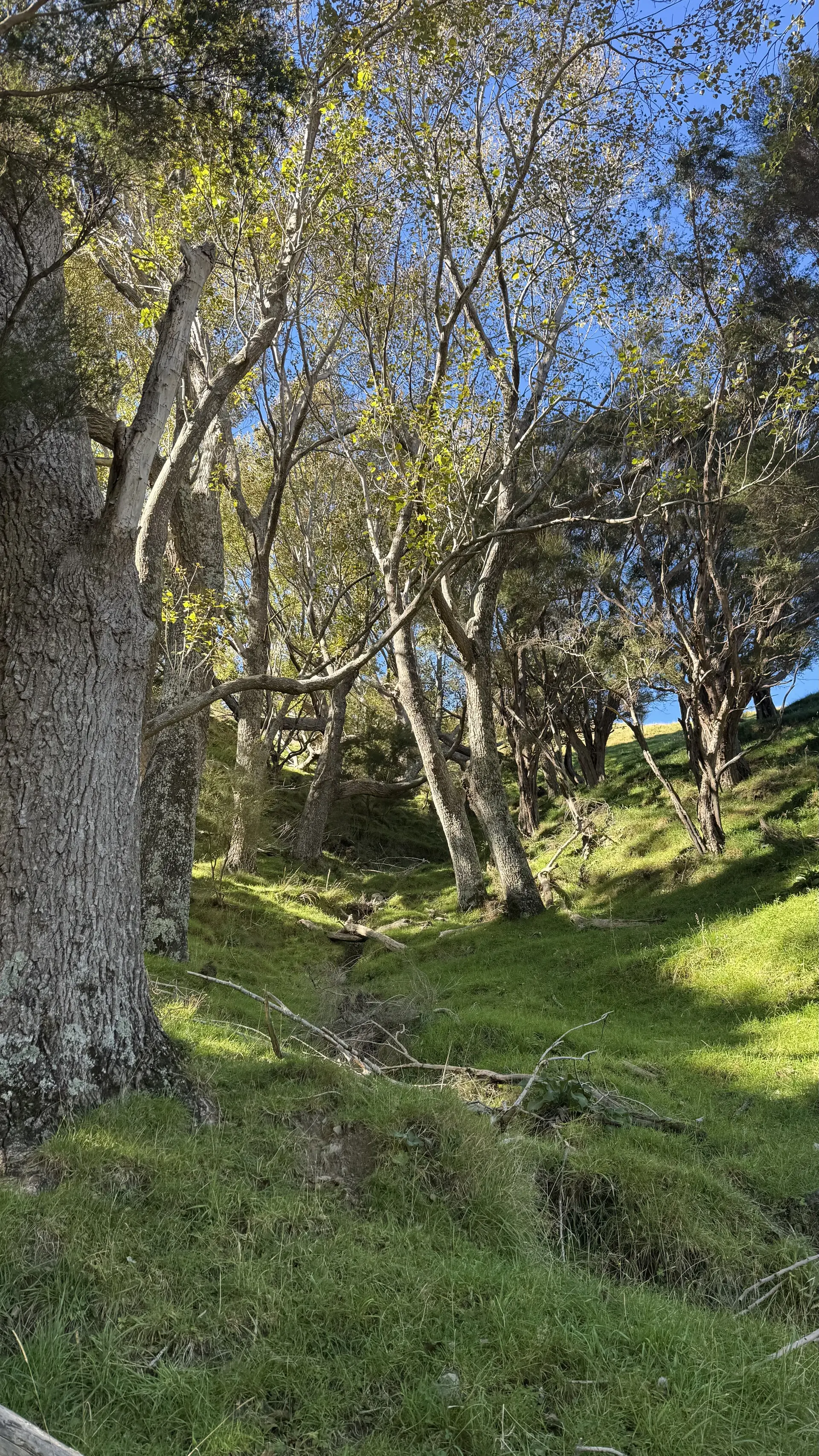
Along waterways, solar exposure mapping identifies stream reaches at risk of overheating, guiding riparian planting to regulate temperature and improve habitat quality.
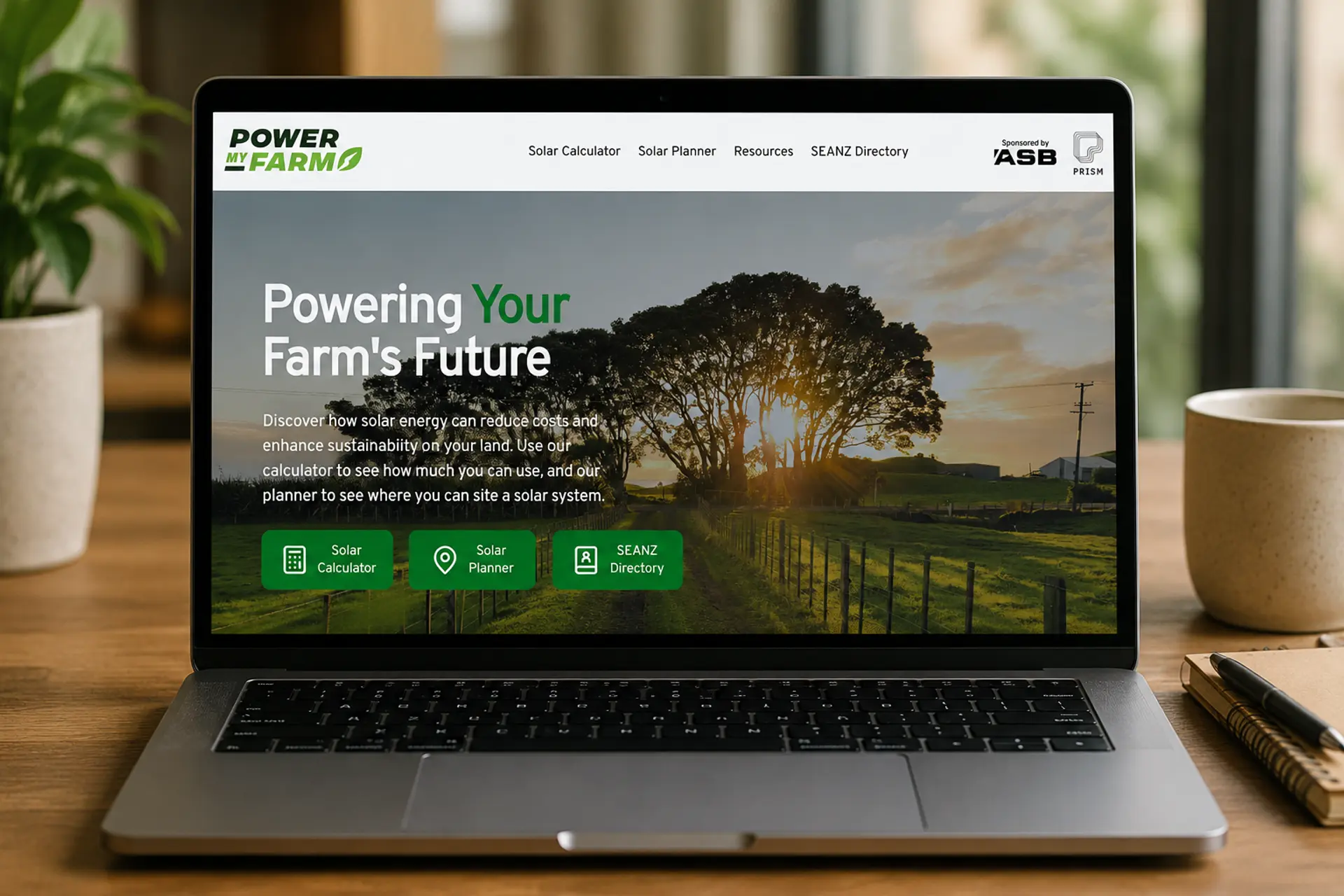
For energy planning, we have partnered with ASB Bank to develop Power My Farm, a free service which allows farmers to size and locate solar PV panels and batteries, maximising yield, economic returns while avoiding unsuitable sites.
powermyfarm.co.nz