Climate Risk
& Vulnerability Assessment
We assess future climate hazards, vulnerabilities and risks at the farm and regional scale.
We deliver climate risk insights at property scale. Using farm level data rather than broad regional averages, we show how climate hazards interact with your land, soils, water resources, and farming system.
To baseline a farms climate, we use MetService hindcast data, a high-resolution modelled record of historical weather conditions. Generated from advanced meteorological models, this long-term dataset supports climate risk assessment, engineering design, and analysis of past weather events.
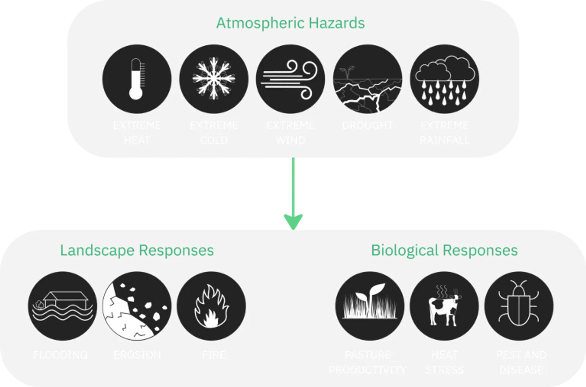
We then use downscaled climate projections, which translate global climate model outputs into high-resolution forecasts of future temperature, rainfall, wind, pressure, soil moisture relative humidity, and other climate variables.
Our assessments are built to support real decisions: where resilience is strong or weak, what practices may need to change, and where future conditions may open new land use opportunities. The focus is on adaptation, not just awareness.
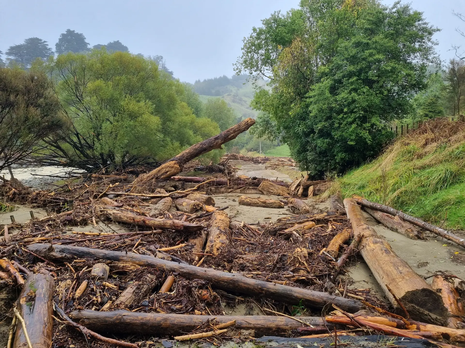
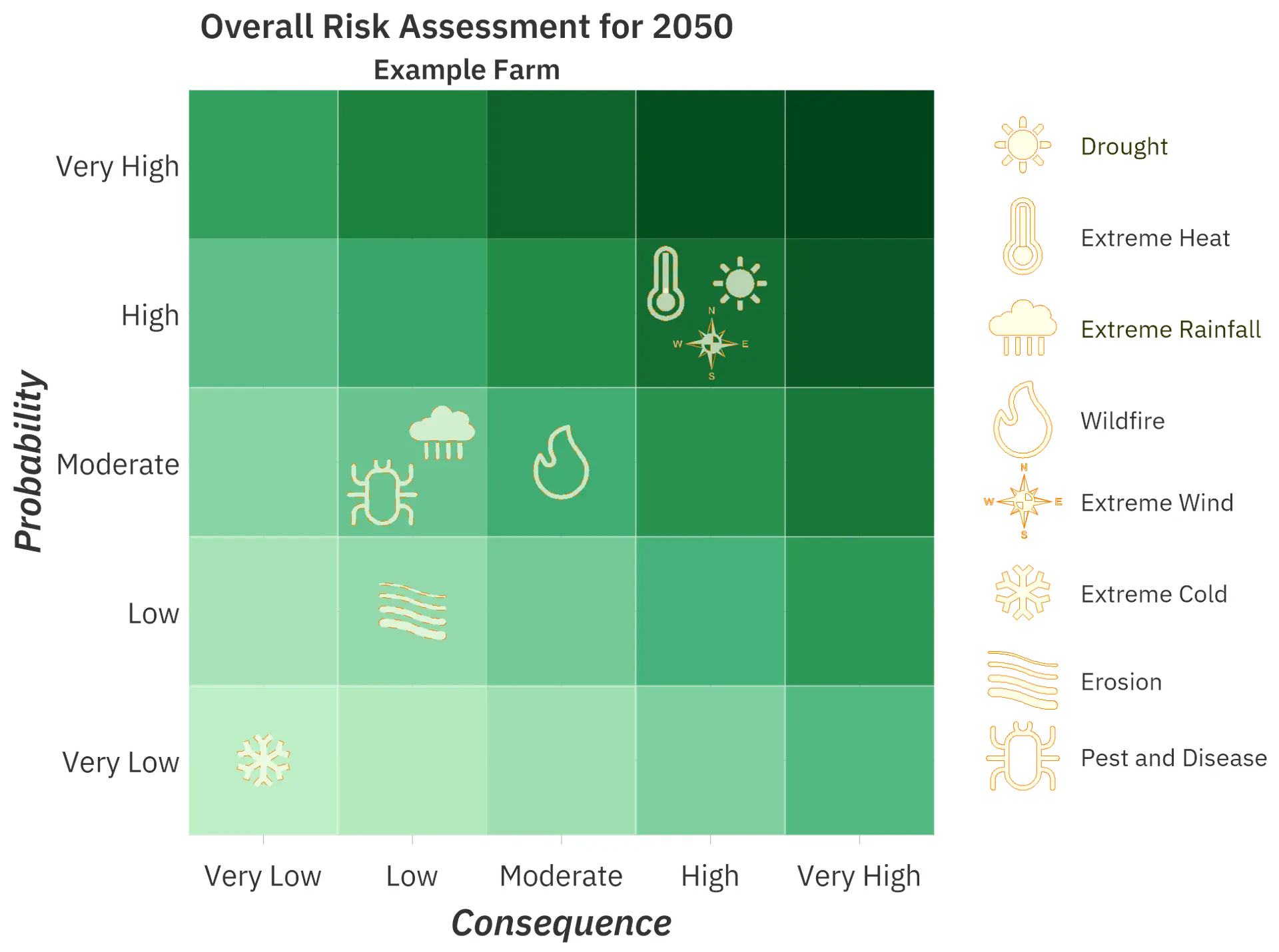
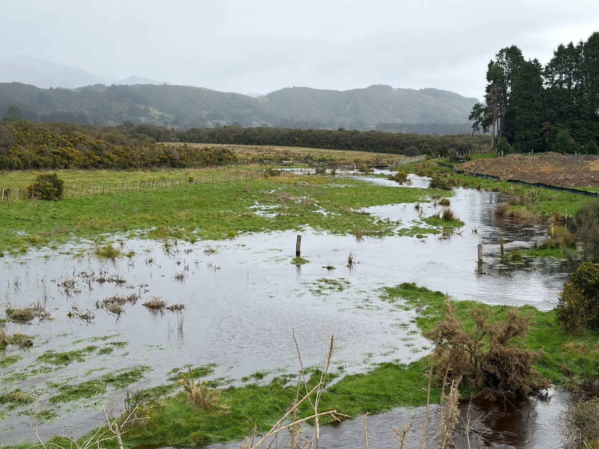
We assess exposure to key climate stressors, including heat, drought, wind, flooding, fire weather, erosion, pests, and disease, and translate them into clear, comparable risk ratings. Results are reported for today, 2030, 2040, and 2050, so change is visible before it becomes a problem.
Underpinned by climate science, long term weather records, spatial analysis, and expert review, our outputs stand up to scrutiny. That means confidence for landowners, investors, iwi, and partners planning for long term productivity and natural capital resilience.